Finnstigen – A walk through Hemsedal's history
Walk Finnstigen in Hemsedal and discover historic mountain farms, traditional hay meadows and centuries of local history on a scenic walking trail through Gravsetåsen.
Finnstigen – A walk through Hemsedal's history
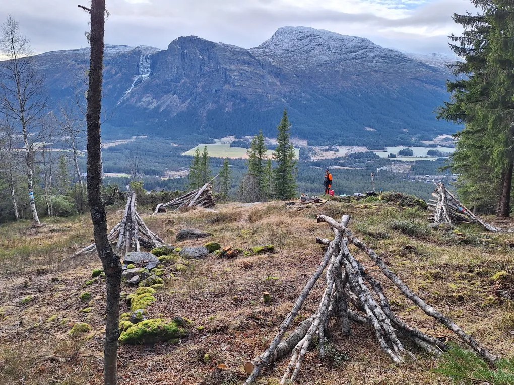
Step back in time on Finnstigen, a scenic walking trail through Gravsetåsen where nature and history go hand in hand. Along the way you'll discover the remains of old mountain farms, hay meadows and traditional summer settlements that tell the story of how people lived and worked in these mountains for centuries.
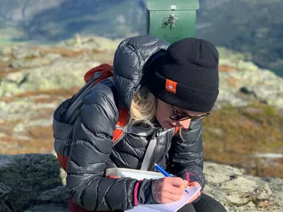
Information boards along the trail bring the landscape to life, sharing stories about the people who shaped it and the traditions that once defined everyday life in Hemsedal.
Whether you're interested in local history, looking for a peaceful walk or simply want to experience a different side of Hemsedal, Finnstigen offers a unique journey through both nature and culture.
Highlights
- Explore historic mountain farm sites
- Discover the story of traditional farming in Hemsedal
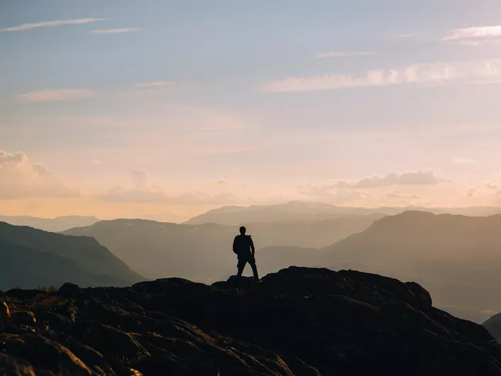
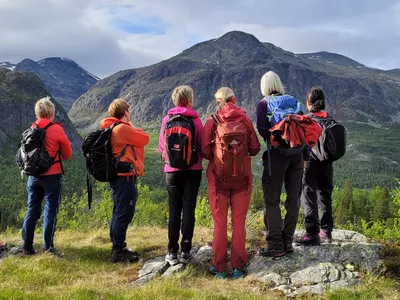
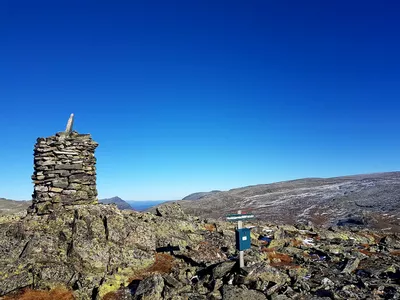
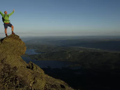
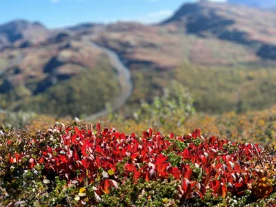
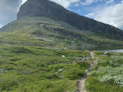
- Enjoy beautiful views across Gravsetåsen
- Learn about local history through information boards along the trail
- A rewarding walk through peaceful forest surroundings
Practical Information
The trail starts at Gravset car park.
Follow the signs for Finnstigen. Along the route you'll find information boards that explain the history of the different locations and settlements.
You can also follow the trail digitally in the Hemsedal-appen.
ON FINN
Flato Summer Farm
High up in Gravsetåsen, above the Ålstveit farms, lie four former home summer farms in a row. Thanks to its sunny location, Gravsetåsen enjoyed an early spring and fertile south-facing slopes. Although the terrain is steep, this was no obstacle. Good grazing land and hay fields were essential resources.
These summer farms were used during spring and autumn. The visible foundations show that each site once included both a cowshed and a mountain cabin. It is believed they were in use throughout the 18th and 19th centuries, and into the early 20th century. Summer farming here may even date back further.
The name Finn comes from the Old Norse word firn, meaning wilderness or remote, inaccessible land.
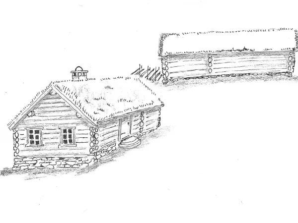
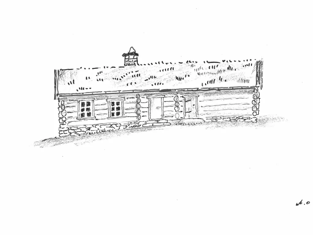
You are now standing at the former summer farm belonging to Flato (Farm No. 55, Holding No. 7). The remains of three buildings can still be seen here, most likely a cowshed, a cabin and a hay barn.
Illustration by Anders Olav.
ON FINN
Rundtop Summer Farm
You are now standing at the former summer farm belonging to Rundtop (Farm No. 55, Holding No. 13). The photograph shows the cowshed that once stood here. It is the only known photograph of the summer farms on Finn.
Photograph of the former cowshed.
SLÅTTENE PÅ FINN
På 1700- og 1800 talet var det neppe noko særleg skog i denne delen av Gravsetåsen. Beiting og slått heldt skogen nede. Slåtten var utmarksslått med ljå eller liknande på områder med god grasvekst. Det er vanskeleg å sjå dette for seg no med stor skog alle stader.
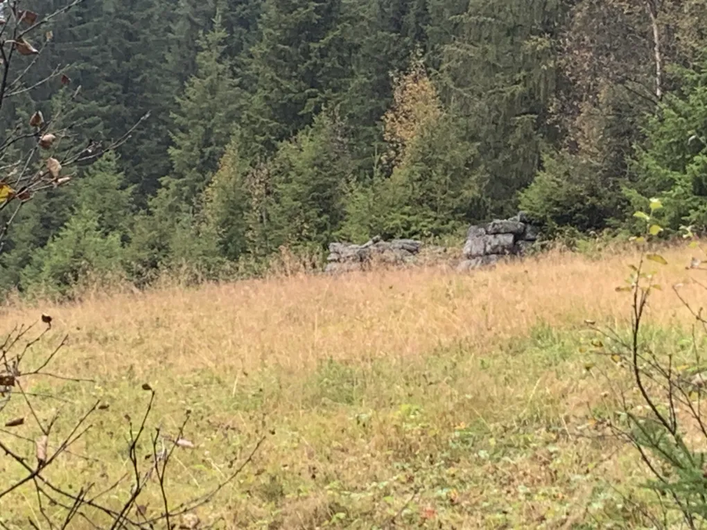
Det vart sett opp løer for å lagre foret til utpå vinteren. Foret vart så dratt ned til gardane, eller bunde saman i ballar og rulla ned på skaren. Dette er ei løe som delvis står enno, løa til Flato ( 55/7)
Tufter i området syner at det har vore fleire løer her.
Bilde av den halve løa
THE HAY MEADOWS OF FINN
During the 18th and 19th centuries, there was probably very little forest in this part of Gravsetåsen. Grazing livestock and haymaking kept the woodland from spreading. Hay was cut in the outlying fields using scythes or similar tools wherever the grass grew well. Today, with dense forest covering the area, it is difficult to imagine this open landscape.
Hay barns were built to store fodder until winter. When snow arrived, the hay was either transported down to the farms or tied into bundles and slid downhill across the frozen snow.
This is the remains of one such hay barn, belonging to the Flato farm (55/7), which is still partly standing today. Foundations in the surrounding area show that several more hay barns once stood here.
Photograph of the remaining hay barn.

NASABØLE
In the southern part of Gravsetåsen, the farms Markegård and Langehaug had their home summer farms. Nasabøle was a large holding belonging to Søndre Markegård. It has also been suggested that people may have lived here permanently during the 18th and 19th centuries, much like at Halle during the same period.
This would explain why both Markegård farms established several additional summer farms in the area. When Halle and Nasabøle became permanently inhabited, new summer farms were developed, including Lislelie, Dekkane and Lusestølen nearby.
Nasabøle belonged to Søndre Markegård (Farm No. 54, Holding No. 1).
The foundations reveal the remains of a substantial building, most likely combining living quarters and a cowshed under one roof.
Illustration by Anders Olav showing the combined dwelling and cowshed.
THE SUMMER FARMS ABOVE INTELHUS
North of Finn are the remains of several former home summer farms. The farms Intelhus and Bakko most likely also had summer farms here in the hillside.
This also explains why Finnstigen continues northwards, joining the old route through Ulsålskaret and onwards to Fekjan. The Intelhus farms had their high mountain summer farms at Løkenstølane, making this a natural route between the home summer farms and the mountain pastures.
It is also possible that access to these farms was from the trail leading up from Løken, as the cliffs below these sites are particularly steep.
You are now standing at the former summer farm belonging to Nordre Intelhus (Farm No. 57, Holding No. 1).
Photograph taken by Hans Petter during trail clearing.
Finnstigen - Hiking Trail
A nice hiking trail running through forest terrain.
Images


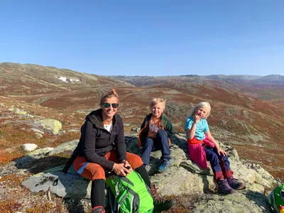
Nice forest path starting from Hemsedal Bygdatun at Ulsåk.
The Karagruppa (volunteer group) has cleared and secured the old Finn path.
Here you find remains (ruins) of old crofters' places and summer farms and get a great view over the valley.
Author's advice
Visit Hemsedal Bygdatun and see what a farmyard in Hemsedal looked like in the 1600s-1700s. When Bygdatunet is open, you can get a guided tour around the premises and hear what life was like in the past.
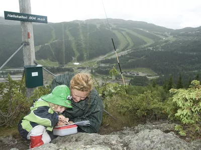
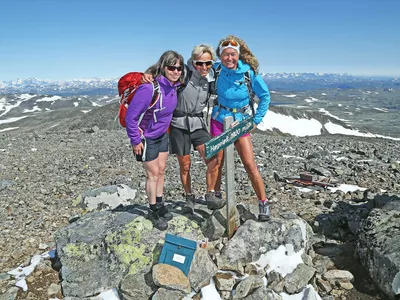
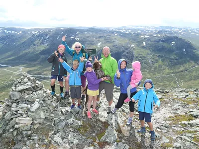
The route can be combined with the Gravsetåsen round and become a circular route via the top 20 peak Storhøvda.
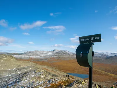
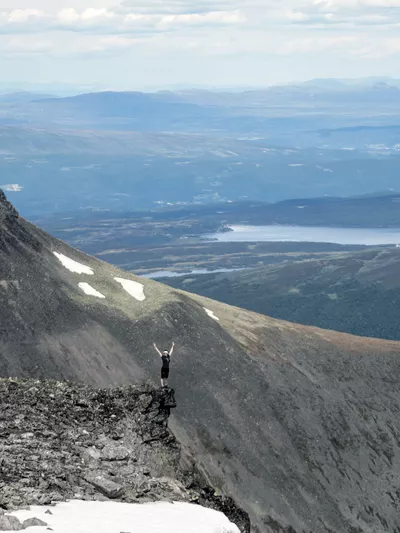
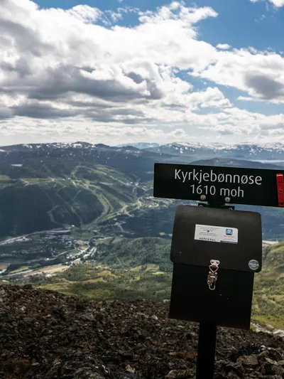
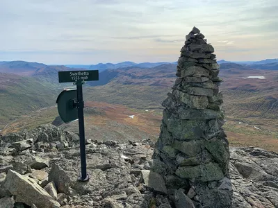
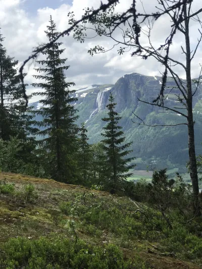
You get great views towards Hydnefossen in several places, and when you are on the top of Storhøvda, you see Skogshorn at 1728 meters above sea level and a wonderful view over the lakes at Lykkja.
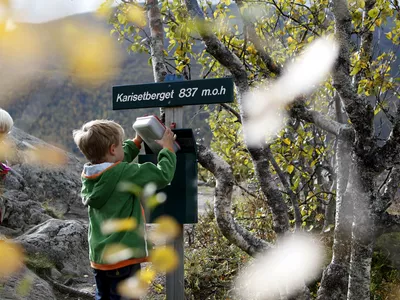
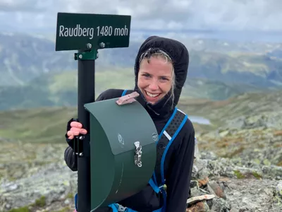
When you return, you can make a detour to Geiteberget (Top 20) 834 meters above sea level.
Turn-by-turn directions
The route starts at Hemsedal Bygdatun and goes towards Gravset before you take the path up towards Storhøvda. From Storhøvda you go towards Geiteberget and back to Bygdatunet.
Equipment
Bring a daypack with lunch and something to drink.
Safety information
The trail is sometimes a bit poorly marked, so remember to look at the map and see where you are going.
Directions
From Ulsåk, turn towards Lykkja, drive a couple of hundred meters to Hemsedal Bygdatun's parking lot.
Parking
Parking for Hemsedal Bygdatun
Public transport
You can take bus 360 to Ulsåk and walk to the start from there.