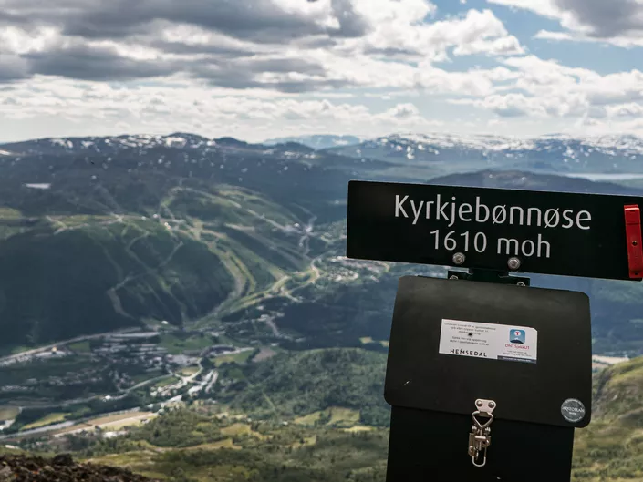
Kyrkjebønnøse
Demanding hike with a climb of almost 1000 m, the trip is approximately 12 km in total up and down.
Kyrkjebønnøse 622 - 16710 moh
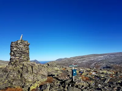
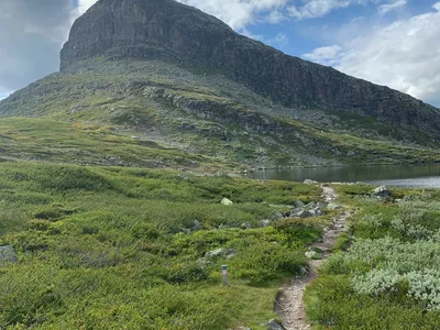
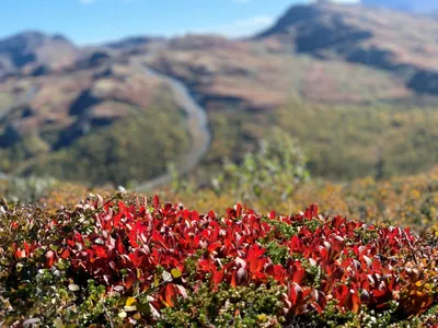
The terrain is forest at first, but when approaching the top goes over into stone.

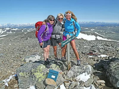
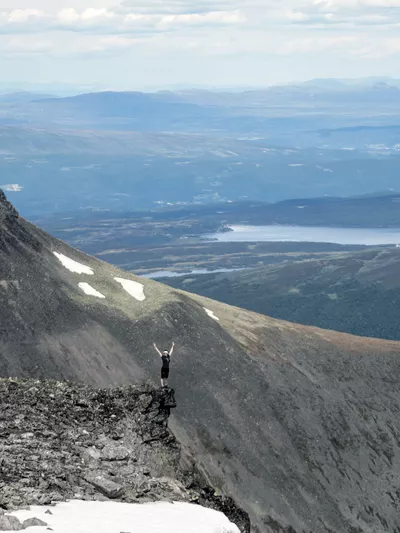
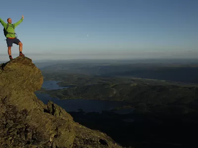
Strenuous hike with breathtaking views over Hemsedal.
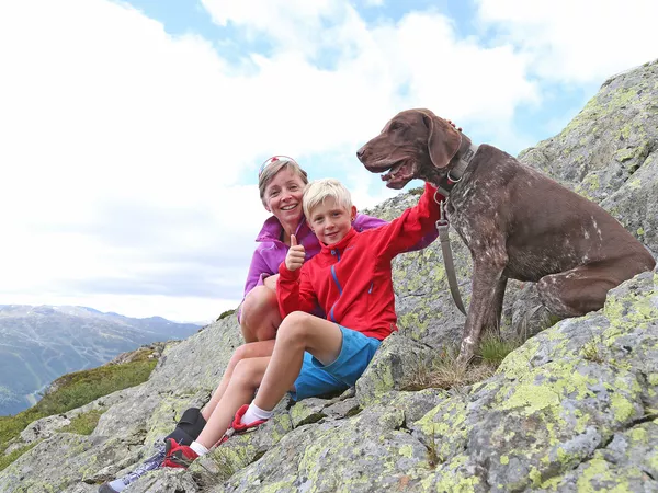
Images


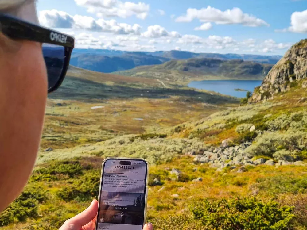
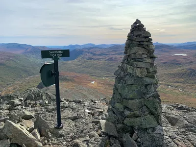
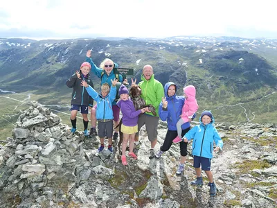
This tour starts in the center of Hemsedal and ends at 1,610 meters above sea level. At the top there is a great view over Hemsedal and all the mountain areas around.
Please note! There are grazing animals in the area, so remember to close gates and keep your dog on a leash. (Extended leash requirement by law in Hemsedal April 1st - Oct 31st.)
Author's advice
By the gravel pit there is a waterfall hidden in the forest. Check the map for exact location and be careful when walking towards it as it may be slippery and is steep.
Turn-by-turn directions
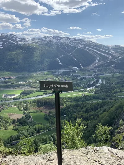
The first part of the hike follows the same route as the hike to Steget.
If you are walking from the town centre: Follow Trøimsvegen behind the Tourist Office, keep left along the river and cross over the bridge. Turn right onto Kyrkjebønsveien and follow the road past the old stavechurch grounds. Just after a large brown farm building on the right, turn right up to the gravel pit and follow the marked trail from there.
From the gravel pit: The trail winds up a rought tractor track through the forest.
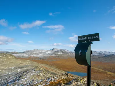
After about 1 km, you will come to an intersection where there is a sign to the right for Kyrkjebønnøse. Turn right here and follow the marked trail onwards. Above the tree line you come out on a beautiful plateau with great views! Many decide to turn around here for an easier hike. If you are ready for a challenge, continue on the trail up the mountain. It is rocky here, so remember good shoes and be especially careful if it is wet. When you come up continue a little further until you reach the summit of 1610 masl. Turn around here or continue towards the last peak at 1671 m above sea level. Return the same way.
Please note! There are grazing animals in the area, so remember to close gates and keep your dog on a leash. (Extended leash requirement by law in Hemsedal April 1st - Oct 31st.)
Equipment
- Map, compass and other necessary equipment.
- Good shoes, extra clothes, food and water.
- Hiking poles could be handy.
Safety information
- Remember a topographic hiking map and compass.
- Always choose hikes based on your ability and current conditions. The weather changes quickly in the mountains. Turn back in time (or choose another hike).
- Fill up with water when you come out of the forest, before starting up the mountain.
Map
Topographical map of hiking trails, cycling routes and cross country tracks in Hemsedal is for sale at Hemsedal Tourist Office.
Directions
- The hike can be started in Hemsedal town center.
- Alternatively, drive the first part up tp the gravel pit: Drive up Kyrkjebønsvegen tbetween Skogstad Hotell and Elmas cafe. After approx. 1.4 km, just after a large brown farm building on the right, take the road up past this bilding and continue up to the gravel pit where you may park. Follow the marked trail from here.
Parking
You can either park at the gravel pit or in the town centre.
Public transport
The hike to Kyrkjebønnøse can be reached from the town center of Hemsedal. See vy.no for transport to Hemsedal town center.