Buaknuppen
Demanding tour that also befits a piece by bike, 700 m vertical and the trip is approximately 16 km. Great views towards Jotunheimen.
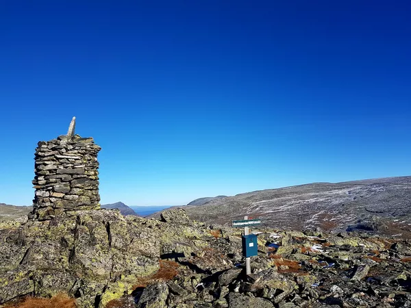
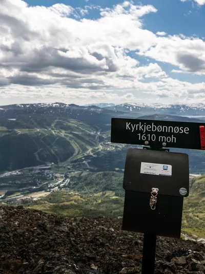
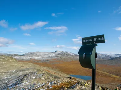
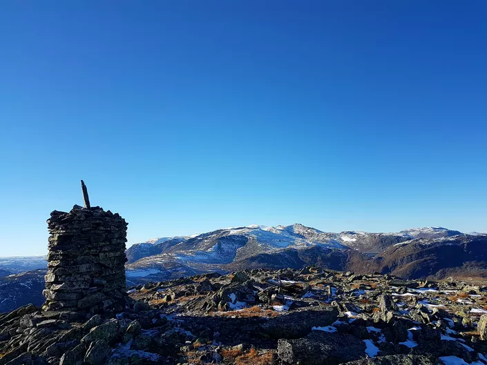
Buaknuppen 890 - 1613 m
Demanding tour that also befits a piece by bike, 700 m vertical and the trip is approximately 16 km. Great views towards Jotunheimen.

A longer and wonderful hike where you can be lucky enough to have the whole mountain to yourself!
Images


One of the lesser-known hikes in Hemsedal. A tough hike through a beautiful valley and up into great mountain terrain with wonderfully views.
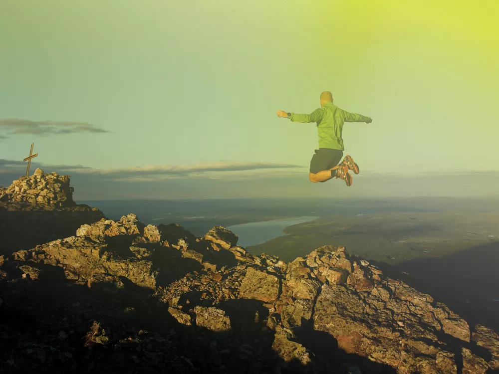
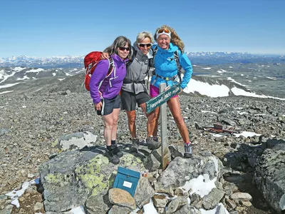
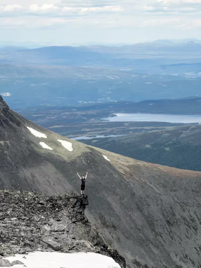
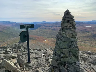
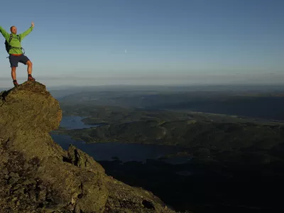
From the top of Buaknuppen, 1613 meters above sea level, you have an incredible view of the mountains in Hemsedal and Jotunheimen.
Keep your dog on a leash, also in the high mountains.
Author's advice
- The first section, in the valley, can be done by bike.
- Remember a proper map and compass. Read more about safety information, equipment and tips under Details.
Turn-by-turn directions
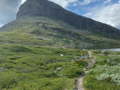
From Mørekvam, follow the tractor road (possible to cycle) and marked trail towards Kljåen. After approx. 4 km, take the trail up to the right up Nevreskaret. This is a tough hike, so take plenty of breaks. The trail follows the stream Slurpa, with many beautiful waterfalls, on and off upwards. Just below the mountain lake Nevreskardtjednet, the trail turns left towards the mountain top. It's also nice to stop by the lake for a break and maybe a dip to cool off. Return the same way.
Keep your dog on a leash, also in the high mountains.
Equipment
- Map, compass and other necessary equipment.
- Good shoes, extra clothes, food and water.
- Hiking poles could be handy.
Safety information
- Remember a topographic hiking map and compass.
- Always choose hikes based on your ability and current conditions. The weather changes quickly in the mountains. Turn back in time (or choose another hike).
Map
Topographical map of hiking trails, cycling routes and cross country tracks in Hemsedal is for sale at Hemsedal Tourist Office.
Directions
From Hemsedal town center, follow Rv 52 west 4,6 km to Tuv. Take right onto the road to Grøndalen. When the road splits at Tubba, keep right towards Mørekvam (toll road, cash and Vipps payment) and continue until the road ends.
Parking
Parking on the side of the road at Mørekvam. Make sure not to block for other vehicles.