Raudberg
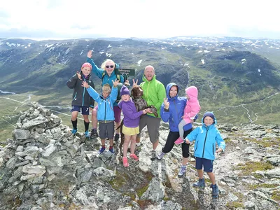
Raudbergnuten is a nice walk in high mountain terrain. Great views at the top. Good trail greatest part of the trip, rocky on top.
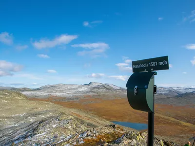
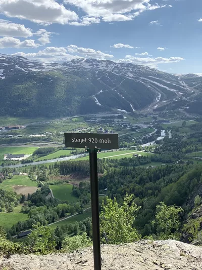
Raudberg 915 - 1486 m
Raudbergnuten is a nice walk in high mountain terrain. Great views at the top. Good trail greatest part of the trip, rocky on top.

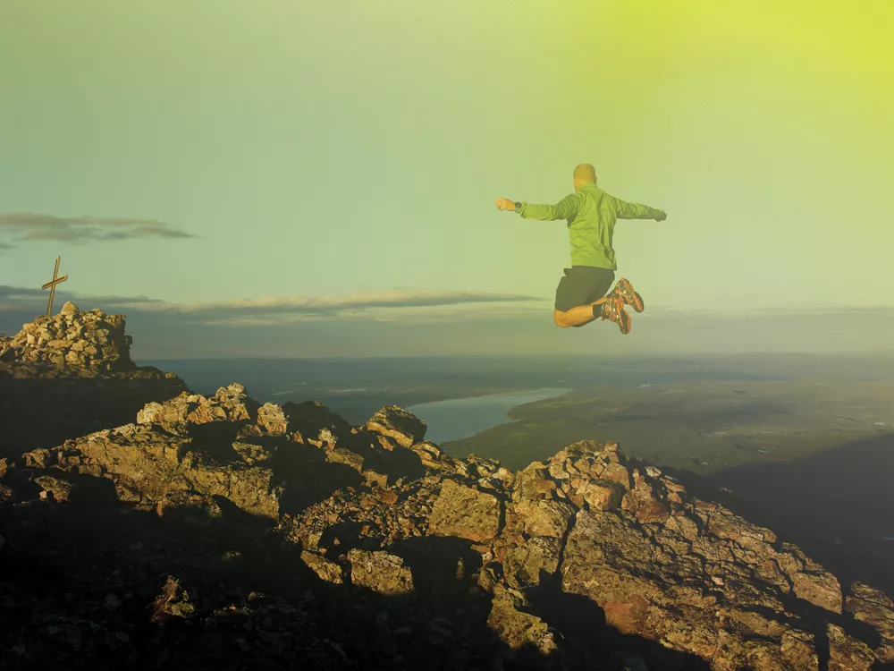
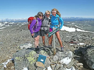
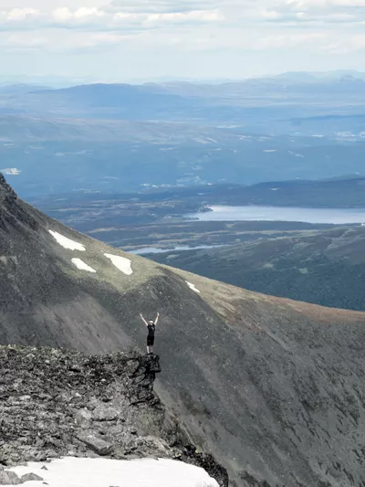
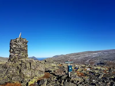
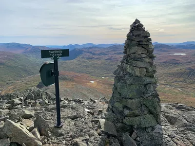
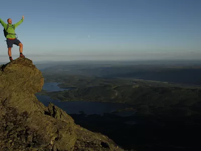
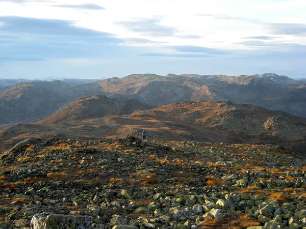
From the top of Raudberg, 1485 masl, you can see most of the other Topp20 hikes.
Images


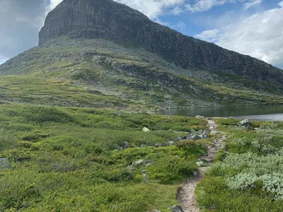
This is a hike for intermediate hikers who enjoy walking straight up to the top and have some experience. The hike starts through an old mountain farm area and you walk in beautiful high mountain terrain all the way. Raudberg divides the valleys Grøndalen and Mørkedalen and from the top you can see almost the whole of Hemsedal and parts of the mountain range Jotunheimen.
Remember to keep the dog on a leash, even in the high mountains.
Turn-by-turn directions
From the Ershovd parking along the main road Rv52, you follow the gravel road further in. At the T-junction turn right. A few hundred meters further on, turn left at the sign for Raudberg and follow the marked trail upwards. After a lenghty climb, it flattens out a little more into the mountain. The trail runs on the left side of Raudberg. Gradually the path turns up the mountain and it becomes more rocky the last part towards the top. Return the same way.
Remember to keep the dog on a leash, even in the high mountains.
Safety information
- A topographic hiking map and compass are recommended.
- Always choose hikes based on your ability and current conditions. The weather changes quickly in the mountains.
Map
Topographical map of hiking trails, cycling routes and cross country tracks in Hemsedal is for sale at Hemsedal Tourist office.
Directions
From the town centre, follow the main road Rv52 westwards through Tuv and on to the Ershovd exit, approx. 17 km. Park at the exit. Alternatively follow the old Kings road from Tuv/Lio/Bjøberg.
Parking
Parking by Rv52 by the exit to Ershovd.