Harahødn/Harahorn
A very nice hike in high mountain terrain. A little rocky, but it is an exciting edge to walk.
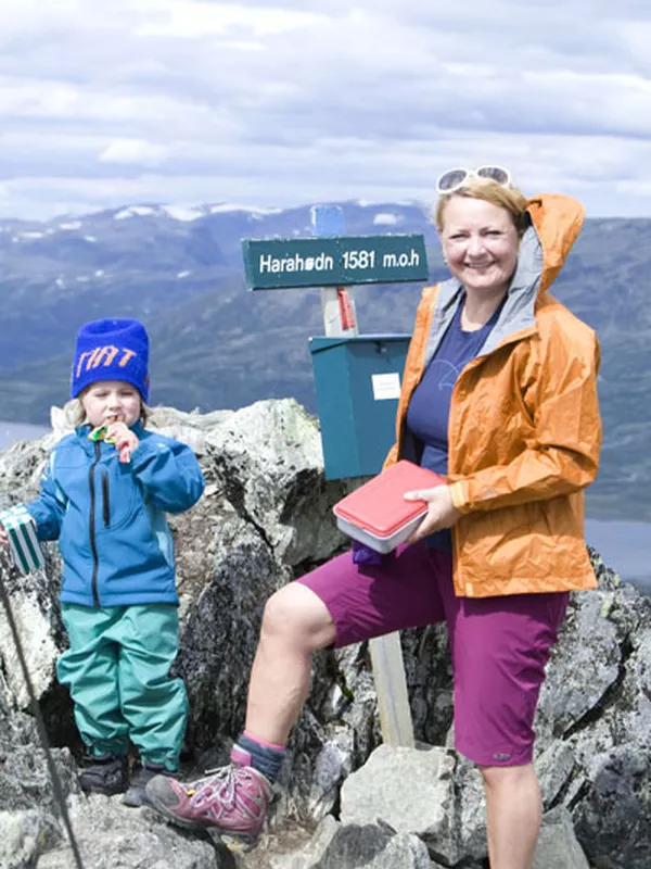
Harahødn 1140 - 1581 m
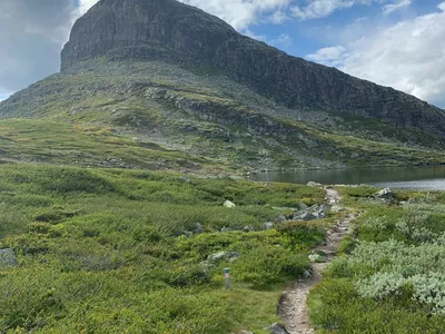
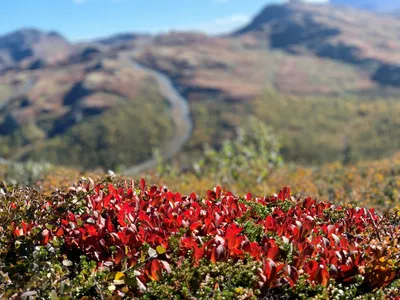
Harahødn is located in a beautiful area called Hydalen. The area is protected and don't be suprised if you run into a bunch of reindeers. The path is a bit rocky, but there is an exciting edge to walk at the end before you reach to the top. Follow the marked trail from the road by Vavatn.

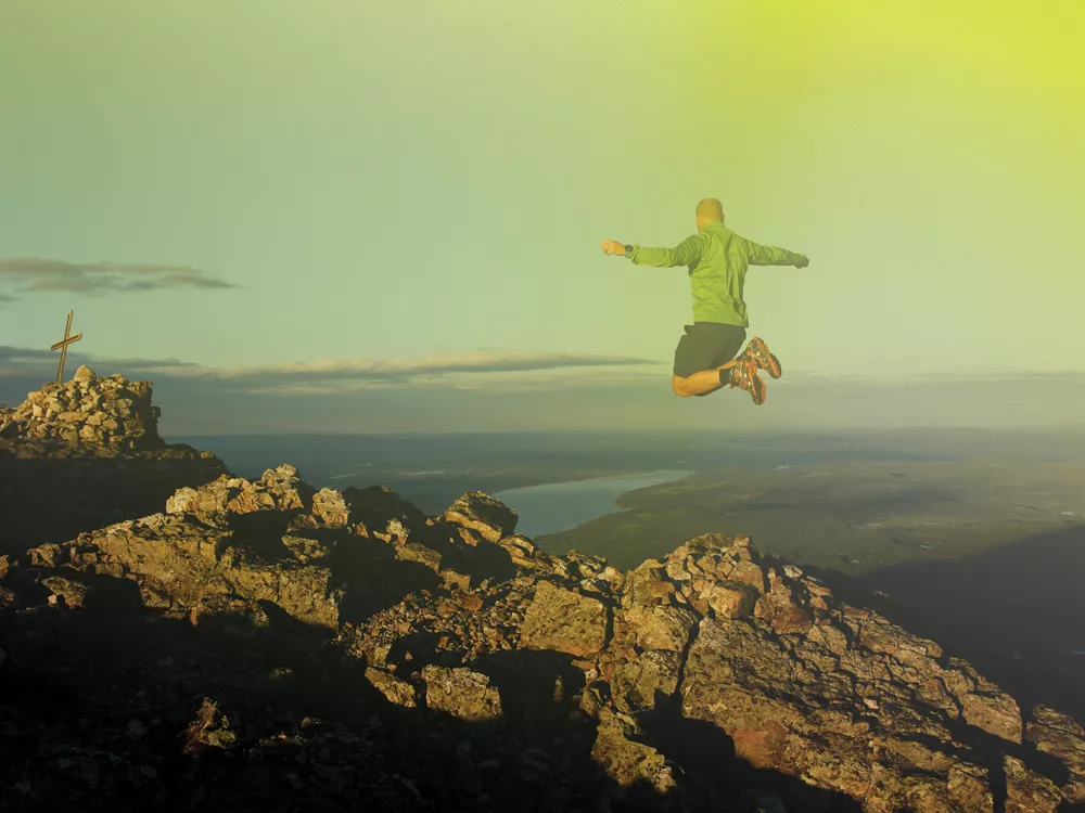
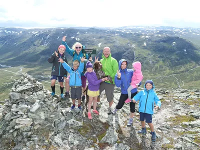
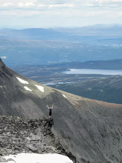
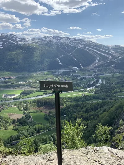
Beautiful Topp20 hike in the beautiful Vavatn area. Amazing view in all directions, over Hydalen and the mountains towards Hemsedal, Ranastøngji and Jotunheimen.
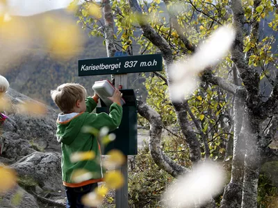
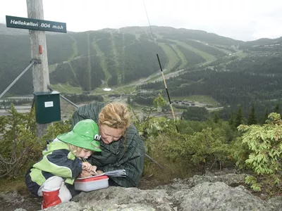
Images


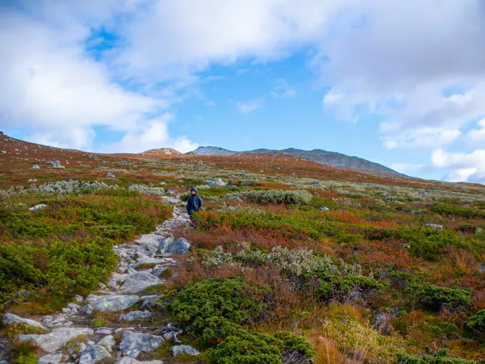
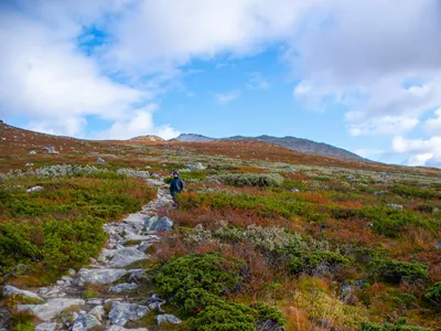
An intermediate hike that is best suited for those with some experience and also families with children who are well used to longer mountain hikes. There are fantastic views in all directions and the last part goes on an exciting mountain ridge. (If you're sceptical of heights, you can stop before the last part up to the summit.) The hike starts in gentle high mountain terrain, after which it becomes steeper and a lot of rock towards the top.
Rember to keep dogs on a leash.
Author's advice
If you are looking for an alternative for a shorter trip, then you can walk to Putnaklanten which is mid way up to Harahødn/Harahorn.
Turn-by-turn directions
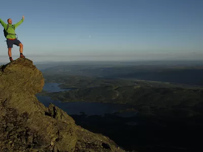
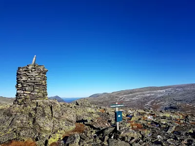
From the parking, follow the road for a short distance before the marked trail turns up to the right. The hike starts in beautiful and gently sloping high mountain terrain before it becomes somewhat steeper and more rocky towards the top. You walk on a ridge for the last part until you reach the top at 1,581 masl. (If you're sceptical of heights, you can stop before the last part up to the summit.) Return the same way.
Remember to keep dogs on a leash.
Safety information
A topographic hiking map is recommended.
Always choose hikes based on your ability and current conditions. The weather changes quickly in the mountains.
Map
Topographical map of hiking trails, cycling routes and cross country tracks in Hemsedal is for sale at Hemsedal Tourist Office.
Directions
From the town centre, follow the main road Rv52 for about 4,5 km towards Tuv. Turn right towards Grøndalen. After another almost 5km, follow the signs to the right up to Hydalsvegen. Toll road, https://passpay.no/ . When you get up, there is a large parking lot. Follow the road on foot for a short distance, before the sign for Harahorn up on the right.
Parking
Large parking at Oset when you come up to the Vavatn lake.