Svarthetta
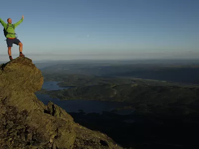
The hike goes up a nice trail to the very high mountain, and the 600 elevation few meters is fine for most people. When you first come up, the view is formidable.
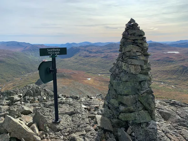
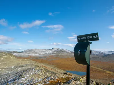
Svarthetta 940 - 1553 m
The hike goes up a nice trail to the very high mountain, and the 600 elevation few meters is fine for most people. When you first come up, the view is formidable.

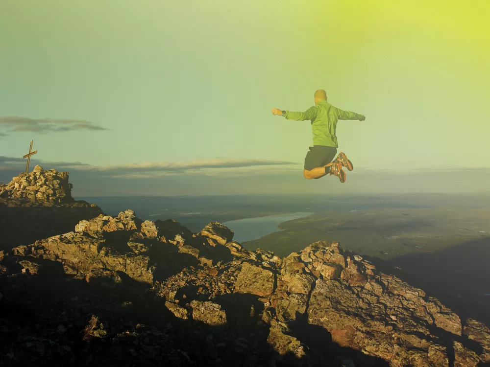
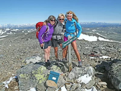
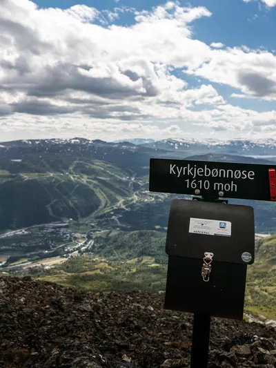
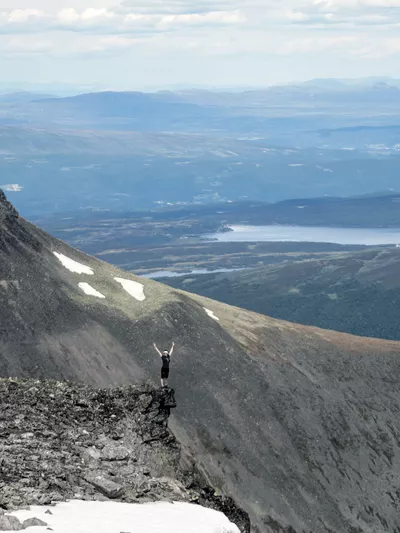
Beautiful intermediate hike in the mountain farm area of Bulien. From the top, 1553 masl, you have magical views of Vavatn, Jotunheimen and the valleys surrounding Hemsedal.
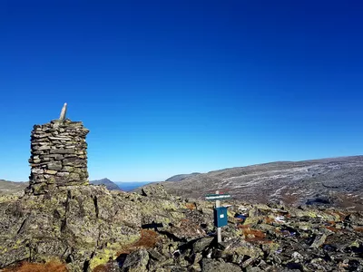
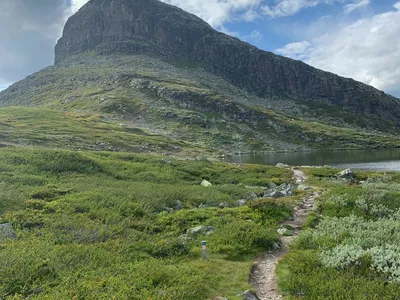
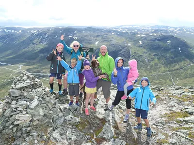
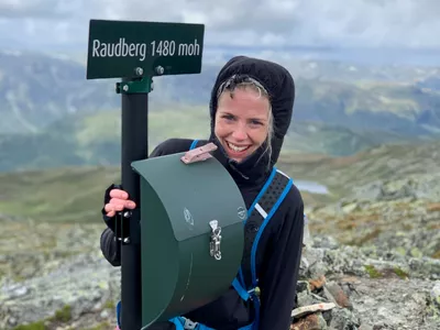
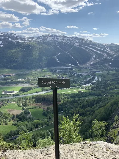
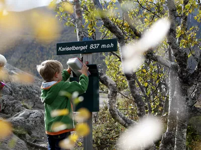
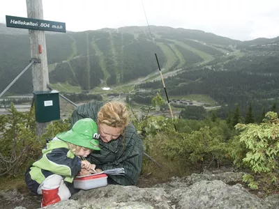
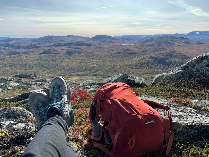
Images


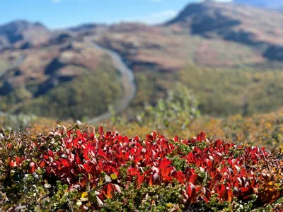
The drive into Bulien valley is very beautiful, you'll drive through a farm landscape along the river Grøndøla. Svarthette is an intermediate hike suitable for experienced hikers. There is a small section hat requires some climbing (not suitable with dogs) and parts of the trail is on a narrow ridge so it's not for the faint-hearted.
The valleys on either side of you are called Bulin and Mørekvam. Both are used for free grazing cattle and cabins. It's two of the most remote areas in Hemsedal and perfect locations to pitch a tent or just spend a day. You should also be able to see some other Topp20 hikes such as Buaknuppen, Høgeløft and Bjøbergnøse and on a clear day even the mountain range Jotunheimen.
Please note! There are grazing animals in the area, so remember to keep your dog on a leash, also in the high mountains.
Author's advice
Very beautiful landscape on and around Svarthetta so take your time and enjoy a walk or a drive around the area of Bulien, Grøndalen and Mørekvam.
Turn-by-turn directions
From the parking, follow the road back a few hundred meters and turn off at the sign onto the marked trail to Svarthetta. You start on a forest trail and follow it past the tree line and a little further. When you reach the short stretch with some climbing, use the rope hanging here to help ypu up. You then follow the marked trail up the mountain and the last part goes along the mountain ridge to the top. All the way up you have great views in almost all directions over the valleys on either side: Bulin and Mørekvam. Return the same way.
Please note! There are grazing animals in the area, so remember to keep your dog on a leash, also in the high mountains.
Safety information
- A topographic hiking map and compass are recommended.
- Always choose hikes based on your ability and current conditions. The weather changes quickly in the mountains.
- A bit of climbing required (a rope hangs there), so it can be challenging for some, and those with dogs.
Map
Topographical map of hiking trails, cycling routes and cross country tracks in Hemsedal is for sale at Hemsedal Tourist Office.
Directions
From the town centre, follow the main road Rv52 westwards approx. 5 km. At Tuv, turn right towards Grøndalen and drive until the road splits in two at Tubba. Turn left towards Bulien (toll road, cash payment, also Vipps for Norwegians). Follow the road upwards. As it flattens out, you first see a sign for the trail and a few hundred meters further on there is a sign for parking. It is also possible to park before the toll road and walk the gravel road up about 4 km before the trail starts.
Parking
Signed parking on the left-hand side approx. 300 meters after the sign with the trail to Svarthetta.