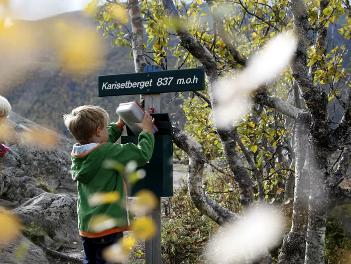
Karisetberget
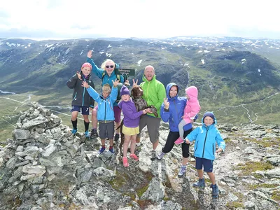
A nice walk on the trail with great views at the top. Fits everyone.
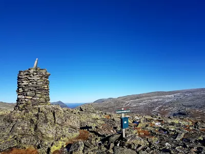
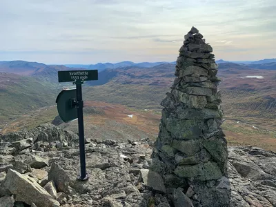
Karisetberget 649 - 837 m
A nice walk on the trail with great views at the top. Suitable for everyone.
Very easy walk, about 190 m vertical and it is 1.5 km one way. Estimated walking time is 1.5 hours.

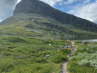
A lovely trail that starts by the river Grøndøla, continous through lush forest and ends with a great view!
Images


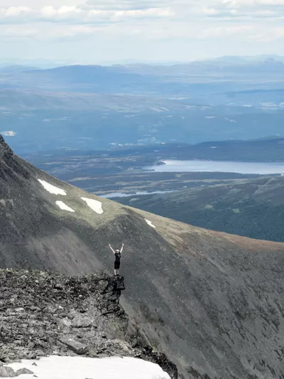
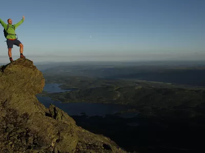
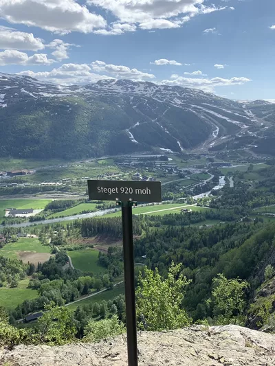
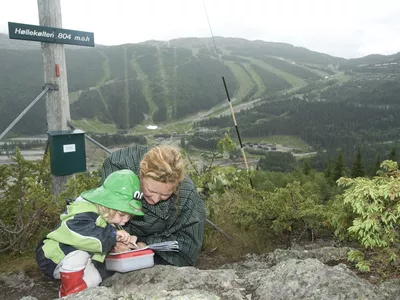
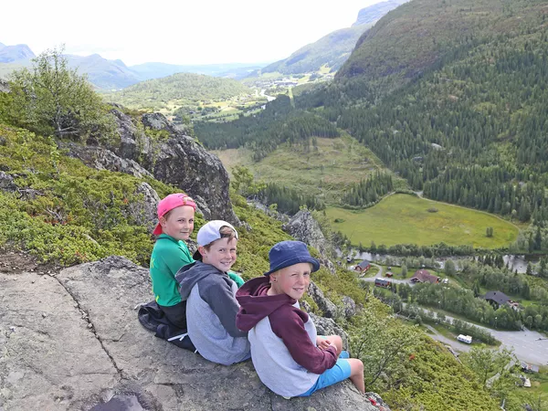
Great trail also for small children. At the top of the mountain there is a lovely view into the valley Grøndalen, over the hamlet of Tuv and the valley to the east with Hemsedal town center and beyond. You can also see the waterfall Rjukandefossen from above!
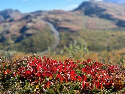
If you are interested in ecology, you can find an experimental field with four different conifers approx. half way. This hike is also great in autumn for the keen picker who can find both berries and mushrooms.
Remember to keep your dog on a leash.
Author's advice
Enjoy blueberries, wild strawberries and lingonberries on your way up or down. You may also find mushrooms if you are experienced with this.
Turn-by-turn directions
You start the hike by crossing the river Grøndala. Follow the dirt road to the end and continue onto the marked trail up through the forest. Towards the end, the trail goes partly on rock, so be careful if it is wet. Follow the trail until you reach the lookout point at 837 m above sea level, where you can see both the town center and beyond, as well as the waterfall Rjukandefossen. Return the same way. On the way down, make sure you follow the marked trail as there are several other trails that branch off from this one along the way.
Remember to keep your dog on a leash.
Safety information
Keep track on the map and where the marked trail goes as there are several detours along the way.
Map
Topographical map of hiking trails, cycling routes and cross country tracks in Hemsedal is for sale at Hemsedal Tourist Office.
Directions
Drive to Tuv and take off towards Grøndalen. Drive approx. 1,5 km and take left at the large rock marked Kroken. Park by the grey concrete building (power station). Follow the path across the bridge by foot.
Parking
Park by the grey concrete building (power station), keep the road clear for tractors.