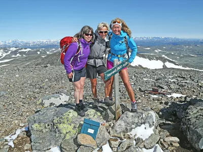
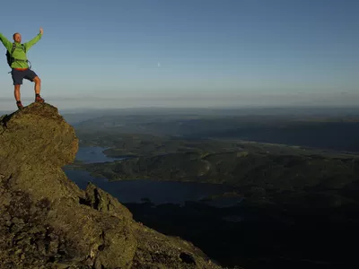
Veslehødn
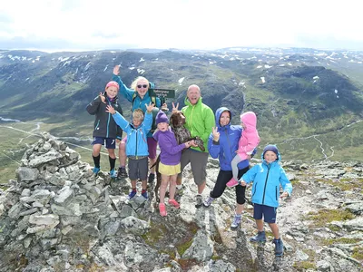
This spectacular hike is suitable for both adults and children.
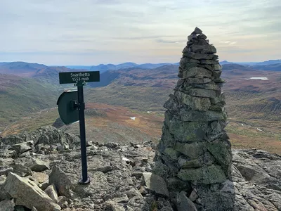
Veslehødn 1060 - 1300 m
This hike is really worth the sweat. Along the way you can see the 140-meter high waterfall Hydnefossen, exit at Kjerringkjeften, a gap that looks like an old lady's mouth or take one refreshing bath in Hødnetjedne. The trip can be combined with Storehødn if you want a little bit longer trip.

A great trip with many possibilities and one of the most popular trips in Hemsedal. You pass over the top of the mighty Hydnefossen and have a chance to have a look at the Hydnekjaften, the womans mouth.
Images


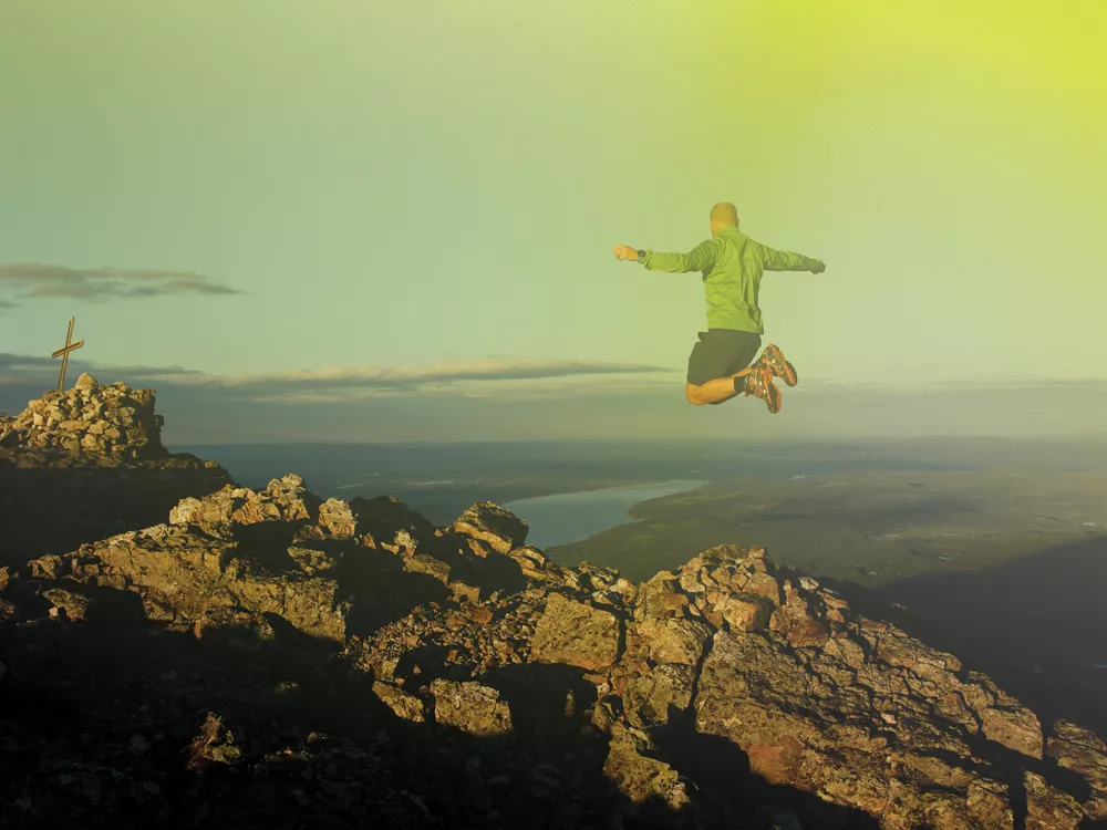
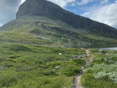
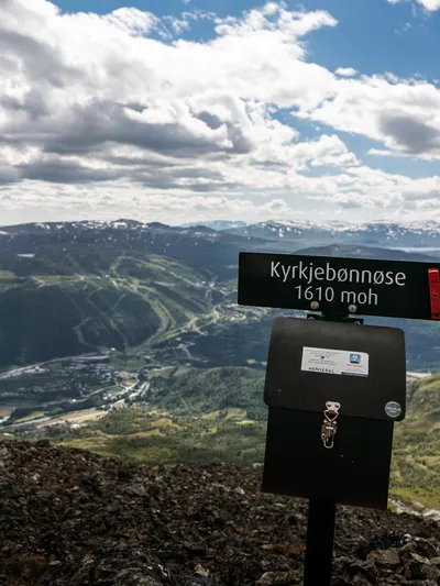
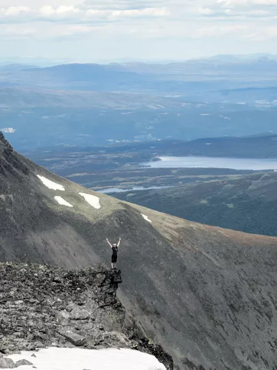
Great trip for the whole family. After a short steep section at the beginning, the hike takes you into beautiful high mountain terrain. There are also many "secret" spots to experience along the way. Both during the hike and from the top at 1,300 m above sea level, you get a great view of the entire valley and surrounding mountains.
Author's advice
For a slightly longer and tougher trip, combine with the Topp20 trip to Storehødn/Storehorn.
Also, on your way to or from the hike, drive along Hødnesvegen, which runs just below Hydnefossen, for the best view of the waterfall.
Turn-by-turn directions
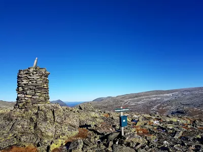
From the parking, follow the marked trail upwards. The first section is steep, but after less than a kilometer it flattens out into beautiful high mountain terrain. When you approach the water, you can choose which way you want to go around. Follow the path around all the way to the northwest end of the water, from there follow the path up the last bit to the top of Veslehødn. When you come back down from the top, take the other way around the water for a loop.
Safety information
- A topographic hiking map may be handy.
- Always choose hikes based on your ability and current conditions. The weather changes quickly in the mountains.
- It is very steep at the edge, so be careful if you approach.
Map
Topographical map of hiking trails, cycling routes and cross country tracks in Hemsedal is for sale at Hemsedal Tourist Office.
Directions
From the town centre: Follow Rv 52 east towards Gol, after approx. 9 km, turn right to Torsetstølane. Turn left at the next intersection and follow the toll road (card payment) which turns up to the right to Torsetstølane. Just above the forest border, turn right and continue until the road stops at the Hornslie parking.
Parking
Parking at Hornslie.