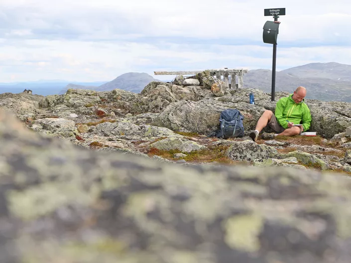
Kvitingatn
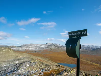
A nice walk in the mountains of Grøndalen with great views at the top. Estimated walking time approximately 3.5 hours trip / return. Views of Hemsedal and Harahødn.
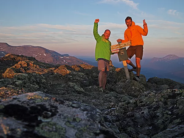
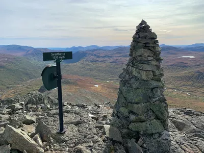
Kvitingatn 1000 - 1426 m
A nice walk in the mountains of Grøndalen with great views at the top. Estimated walking time approximately 3.5 hours trip / return. Views of Hemsedal and Harahødn.

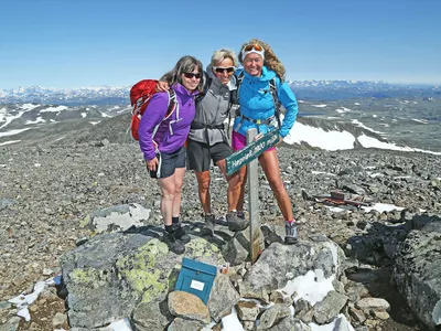
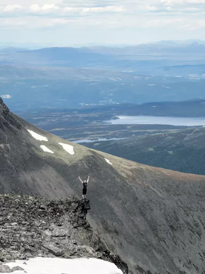
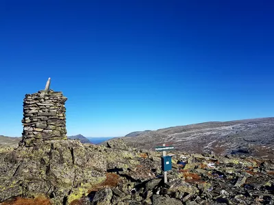
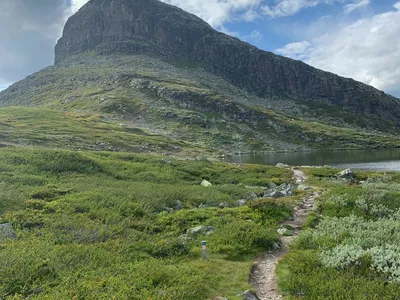
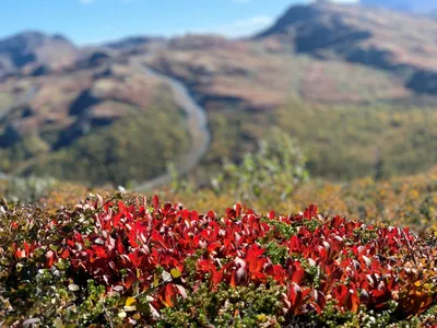
The hike to Kvitingatn starts off in a beautiful old summer farm area and is an intermediate hike through a wild mountain landscape. Beautiful view in all directions from the top.
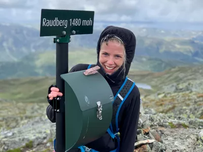
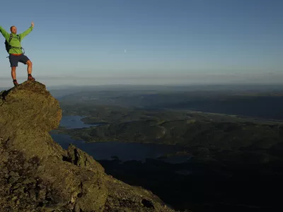
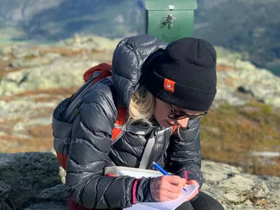
Images


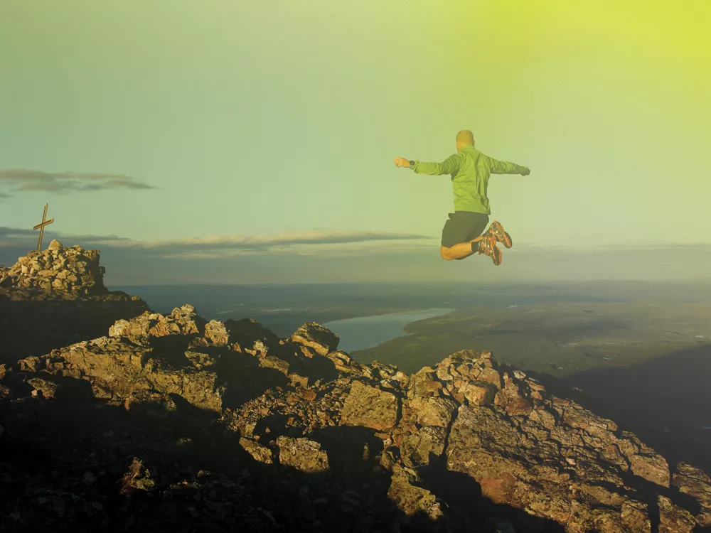
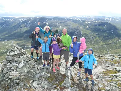
An intermediate Topp20 hike that is suitable for accustomed hikers. From Kvitingatn there is a beautiful view towards the ski resort of Hemsedal, the Topp20 hike to Harahødn and the area around.
Please note! There are grazing animals in the area, so remember to close gates and keep your dog on a leash.
Author's advice
If you continue a bit further up the road when arriving by car, then you'll find Harahorn Fjellgård, a beautiful mountain hotel and restaurant. They serve fantastic food with flavours from the mountains around you.
Turn-by-turn directions
From the parking, follow the road up to the right. The marked trail soon descends into the forest on the right. You will cross the stream Hølsteinsåne over a bridge and the trail then turns left up along the stream. After the forest, you come up to beautiful high mountain landscape. The marked trail then turns to the right and it gets steeper up the ridge. After the first peak, the trail flattens and you follow the beautiful mountain ridge all the way to the top of Kvitingatn, 1426 masl. Return the same way.
Please note! There are grazing animals in the area, so remember to close gates and keep your dog on a leash.
Safety information
- A topographic hiking map is recommended.
- Always choose hikes based on your ability and current conditions. The weather changes quickly in the mountains.
Map
Topographical map of hiking trails, cycling routes and cross country tracks in Hemsedal is for sale at Hemsedal Tourist office.
Directions
Drive from the Tourist Office towards Tuv, take the road to Grøndalen and follow the signpost for Hydalsvegen. After 3 km on the mountain road, there is a sign “Parking Kvitingatn” on the right side.
Parking
Use defined parking next to the road. Payment by Vipps (only avalible for Norwegians).