Storhøvda
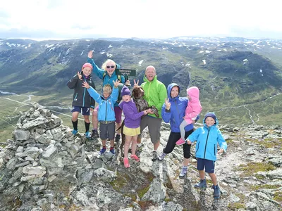
Cozy walk through forest to the top Storhøvda. Stunning views of Lykkja and Skogshorn on top! Fits everyone. The trip can also be combined with Gjeiteberget by the track 'Gravsetåsen around'.
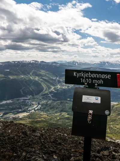
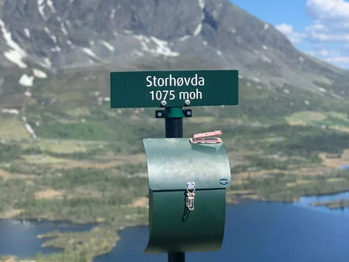
Storhøvda 840 - 1075 m - Hemsedal's Fjellfie spot
Cozy walk through forest to the top Storhøvda. Stunning views of Lykkja and Skogshorn on top! Fits everyone.
The trip can also be combined with Gjeiteberget via the hike 'Gravsetåsen around'.

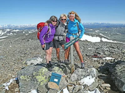
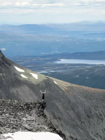
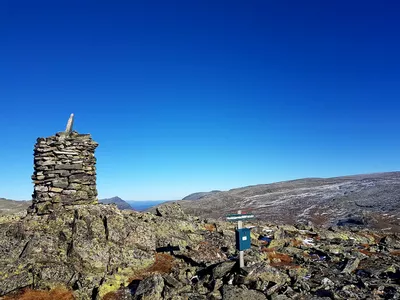
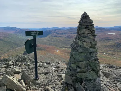
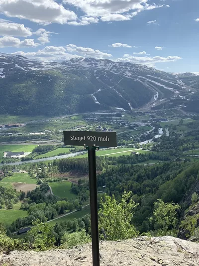
One of our most popular walks for both families and friends. At the top, 1075 masl, you'll get a 360 view over Skogshødn, Lykkja, Hydnefossen waterfall and the many mountain lakes in the area.
Images


"An easy hike with a fantastic view".
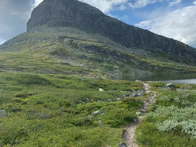
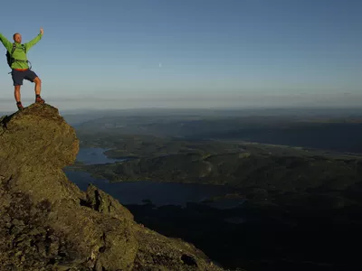
You start the hike by a gravel road past a small mountain lake the trail turn up into the forest. Once you reach the top you will get a fantastic view of the mountain Skogshødn, the waterfall Hydnefossen, Lykkjas lake area and the valley westwards. There is a wooden frame on the top toward the waterfall that makes the perfect picture spot!
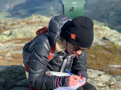
Author's advice
Turn-by-turn directions
The hike starts on a gravel road from the parking. After a short kilometre, the dirt road ends and the trail continues up into the forest above some cabins. Follow the marked trail upwards. As you approach the top, the trail flattens slightly. Return the same way.
Safety information
- A topographic hiking map may be handy.
- The trail can become very slippery in the rain.
Map
Topographical map of hiking trails, cycling routes and cross country tracks in Hemsedal is for sale at Hemsedal Tourist Office.
Directions
From the town centre, follow Rv 52 east to Ulsåk where you turn off towards Lykkja. After approx. 5 km, at Gravset Skiarena, there is a car park on the left with the sign Storhøvda.
Parking
Parking on the left side of the road at Gravset. (Vipps payment for Norwegians).