Bjøbergnøse
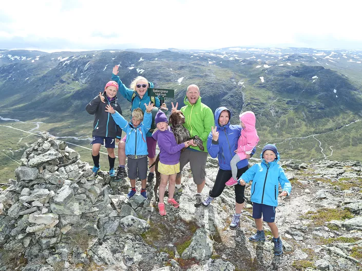
Nice hike from Bjøberg with great views at the top! If you are lucky, you may see reindeer herd that live in the area.
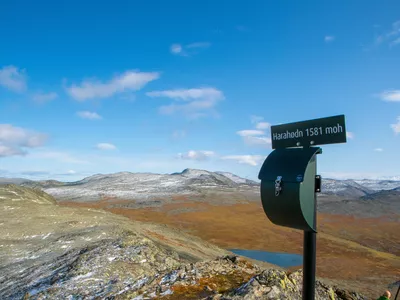
Bjøbergnøse 931 - 1468 m
Nice walk from Bjøberg with great views at the top! If you are lucky, you may see reindeer herd that live in the area.

Hike in the land of the reindeer at Bjøberg.
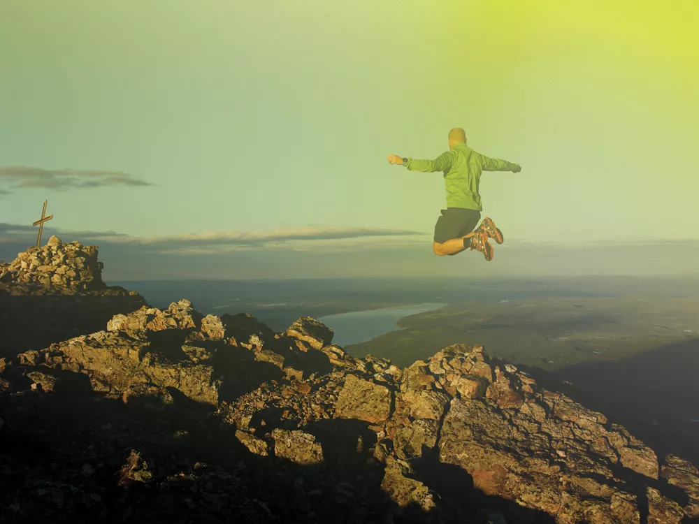
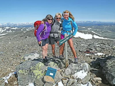
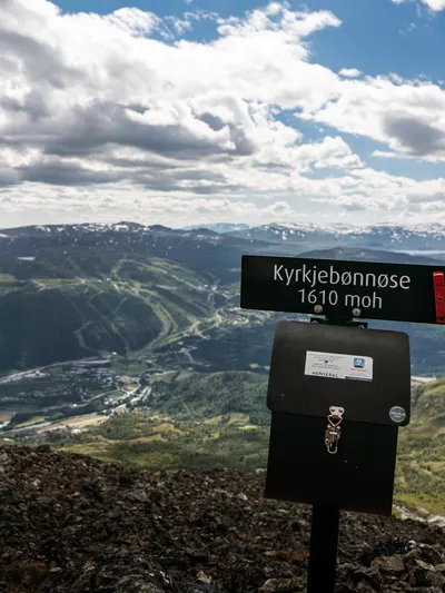
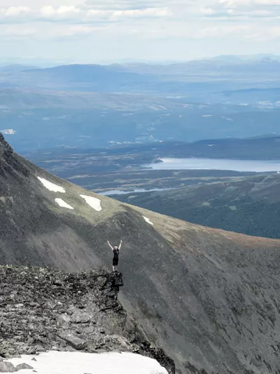
Images


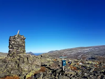
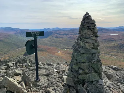
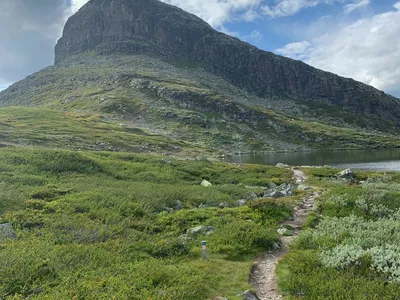
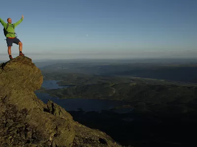
The hike is very scenic and suits most adults and kids who are used to hiking. It starts at Bjørberg along the old kings road, a gravel road that used to be the postal route between Oslo and Bergen. At the top, 1468 masl, you will find beautiful views of the mountain Hestbottfjellet and the valleys on both sides; Mørkedalen and Bulien.
Bjøberg Høyfjellsgard (mountain farm) is the highest working farm above sea level in Norway. Bjøberg also engages in reindeer husband and at certain seasons you will find many reindeer in the area. If you see any, do not approach and remember to keep dogs on a leash.
Author's advice
There are many alternatives for hiking in this area, if you are up for a longer hike, continue the DNT trail towards Bulien or discover the lakes Ershovdtjernane. If you do leave the marked trails, a compass is recommended in addition to the topographic hiking map.
Turn-by-turn directions
From the parking, follow the old Kings Road for a few hundred meters before turning left towards Bulien, on the red marked DNT trail. After the first kilometres, when you see the lake, the trail splits. The red marked DNT trail continues straight ahead, but you should turn left up the blue-marked trail that takes you to the top of Bjøbergnøse 1468 masl. Return the same way.
Note! Remember to keep dogs on a leash, also in the high mountains.
Safety information
- A topographic hiking map is recommended.
- Always choose hikes based on your ability and current conditions. The weather changes quickly in the mountains.
Map
Topographical map of hiking trails, cycling routes and cross country tracks in Hemsedal is for sale at Hemsedal Tourist office.
Directions
From the town centre, drive Rv 52 westwards for approx. 25 km to Bjøberg. Park at the road station/parkring on the right side of the road just before the barrier and Bjøberg mountain farm.
Parking
From the town centre, drive Rv 52 westwards for approx. 25 km to Bjøberg. Park at the road station/parkring on the right side of the road just before the barrier and Bjøberg mountain farm.
Public transport
The long distance bus VY170 which runs between Oslo and Førde stops at the starting point. Check vy.no for departures.