Høllekølten

A cozy trip on the dirt road up to Høllekølten. You can also bring your stroller and the hike fits everyone. Great views of the valley when you reach the top.

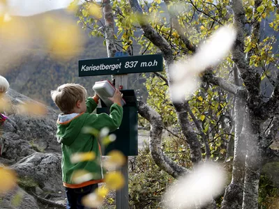
Høllekølten 675-804 m
A cozy trip on the dirt road up to Høllekølten. You can also bring your stroller and this hike fits everyone. Great views of the valley and the ski centre from the top.
Please see more info here under.

This is a cozy and easy route on a gravel road up to Høllekølten.
In winter, you can do this with snowshoes or if many have walked here, you can go with winter shoes.
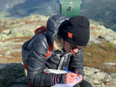
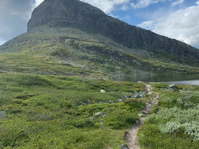
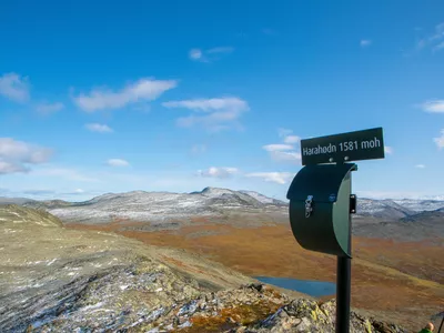
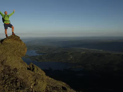
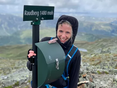
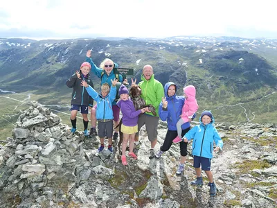
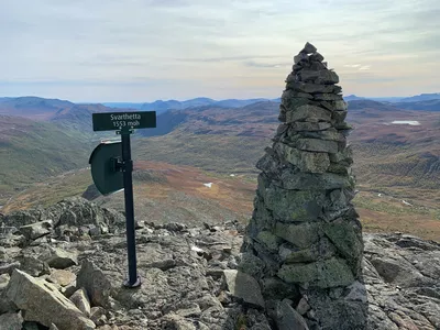
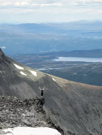
Images


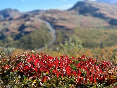
Easy route for the whole family, also with a stroller, as there is a gravel road all the way to the top. Cute small flowers and berry bushes along the way.
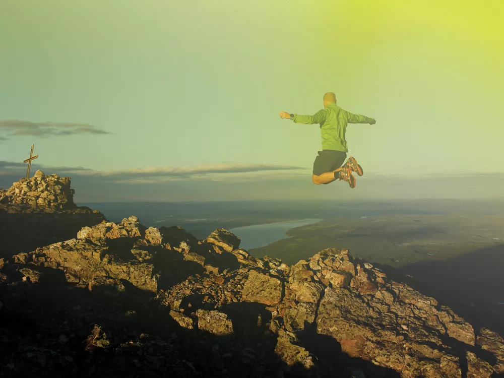
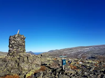
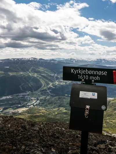
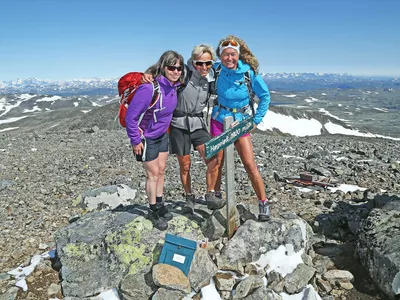
At the top, 804 m above sea level, you have a good view over all of Hemsedal, both east and west. You can see large parts of the ski resort, Fyri resort, Skarsnuten, and the whole Hemsedal center.
The masts at the top are link stations for TV, radio, telephony, and broadband.
Note! There are grazing animals in the area, so remember to close gates behind you and keep your dog on a leash. (Extended leash requirement in Hemsedal from April 1 - October 31.)
Author's advice
Just before the gravel road ends at the top, there is a small path down to the left that leads you to a nice seating area perfect for enjoying the view.
Turn-by-turn directions
From the parking lot, follow the gravel road uphill. After almost 1 km, at the end of a longer flat section and before the road goes downhill again, turn right through the gate (remember to close it behind you!). Follow the gravel road to the end and then the last meters on a path to the viewpoint. Return the same way.
Note! There are grazing animals in the area, so remember to close gates behind you and keep your dog on a leash. (Extended leash requirement in Hemsedal from April 1 - October 31.)
Map
Topographic maps of mountain hikes/trails, cycling routes, and cross-country skiing tracks in Hemsedal can be purchased at Hemsedal Tourist Office.
Directions
From the Tourist Office, follow Rv52 for 4.6 km to Tuv, turn right, but instead of driving to Grøndalen, follow the road that goes sharply to the right. Follow the paved road and park where the gravel road starts by Hustadbekken water mill (heritage site).
Parking
Park at Hustadbekken water mill, where the gravel road starts. Make sure not to block the road or other cars.
Public transport
The route can be reached from the bus stop at Tuv. There aren’t many departures, so check vy.no and plan accordingly.