Høgeloft
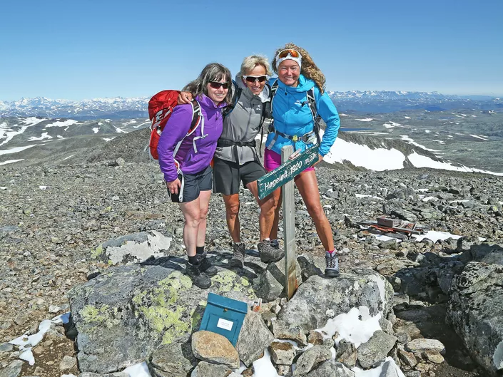
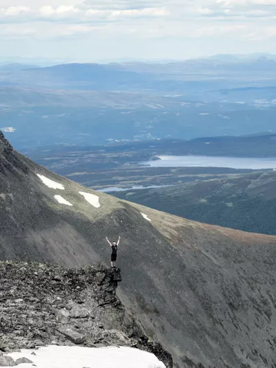
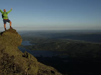
Høgeloft is Hemsedals highest mountain with it's 1920 masl. It has a breathtaking panoramic view of Hemsedalsfjella and Jotunheimen. This tour is also very nice in the winter time.
Høgeloft 1120 - 1920 m
Demanding hike with 800 m elevation. The trip is 12.1 km and will use about 7.5 hours. The tour is not marked, so you have to use a map and compass.
Høgeloft is Hemsedals highest mountain with a breathtaking panoramic view of Hemsedalsfjella and Jotunheimen. This tour is also very nice in the winter.
Please check out the hiking description and map here under.

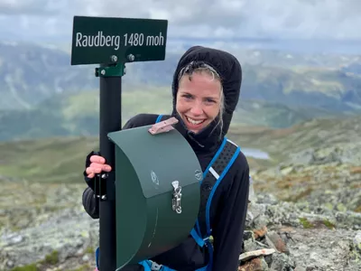
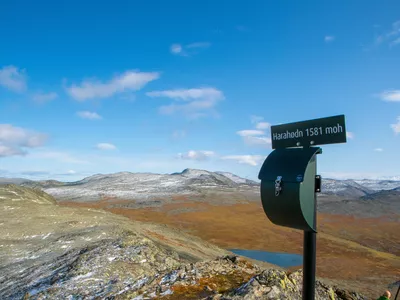
Høgeloft is the highest peak of Hemsedal at 1920moh.
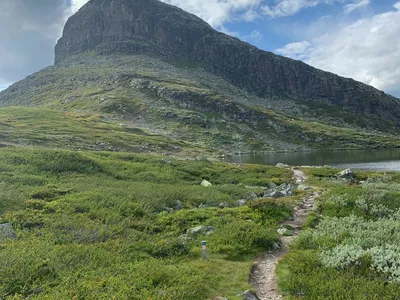
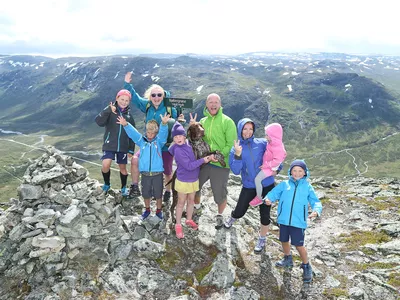
Images


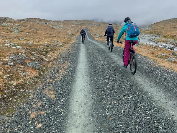
Are you ready for a long, beautiful hike to the top of Hemsedal? Then Topp20 Høgeloft is perfect for you. The hike is long but not too steep. You have great views all the way and can cycle the first kilometres. Remember a proper map and compass!
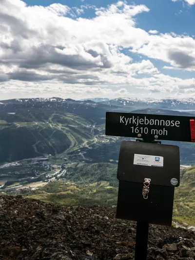
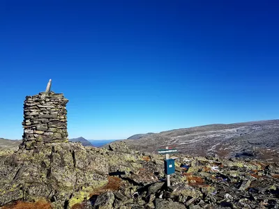
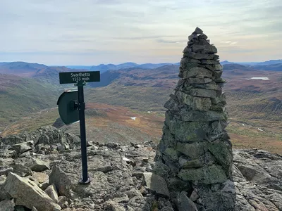
When reaching the top you will have panoramic views of Jotunheimen and Hemsedal. You should be able to spot Buaknuppen, Svarthetta and Kyrkjebønnøse.
Author's advice
- The first section, which is on a dirt road, can be done by bike.
- Remember a proper map and compass. Read more about safety information, equipment and tips under Details.
Turn-by-turn directions
The hike to Høgeloft starts at the west end of Eldrevatn at 1120 m above sea level. The hike crosses the county municipality to Lærdal, and back.
The first part follows a dirt road that you can choose to cycle or walk. Follow the dirt road inwards for approx. 2 km, keep left at the crossroads, follow the road for another approx. 3 km before you turn off the dirt road to the right, just before a stream and follow cairns on. Be aware that it is rocky and there is no clearly marked path (but follow cairns). There is a lot of loose stone and gravel, so good shoes and hiking poles can be nice to have with you. This walk is not clearly marked or signposted, so you must bring a map and compass. The trip can be advantageously cycled for the first few kilometers on a dirt road. Return the same way.
Equipment
- Map, compass and other necessary equipment.
- Good shoes, extra clothes, food and water.
Safety information
- Remember a topographic hiking map and compass. The trail is not marked.
- Always choose hikes based on your ability and current conditions. The weather changes quickly in the mountains. Turn back in time (or choose another hike).
- Fill up with water before taking off from the dirt road.
Map
Topographical map of hiking trails, cycling routes and cross country tracks in Hemsedal is for sale at Hemsedal Tourist Office.
Directions
From the town center drive Rv 52 west, past Bjøberg and to the west end of Eldrevatnet. Take the exit at Glitreøyni and park in a large parking lot by the road.
Parking
Parking lot along Rv52 at the west end of Eldrevatn at the Glitrøyni exit.
Public transport
The long distance bus VY170 which runs between Oslo and Førde stops at the start/end point. Check vy.no for departures.