The adventure trail
in Hallingdal
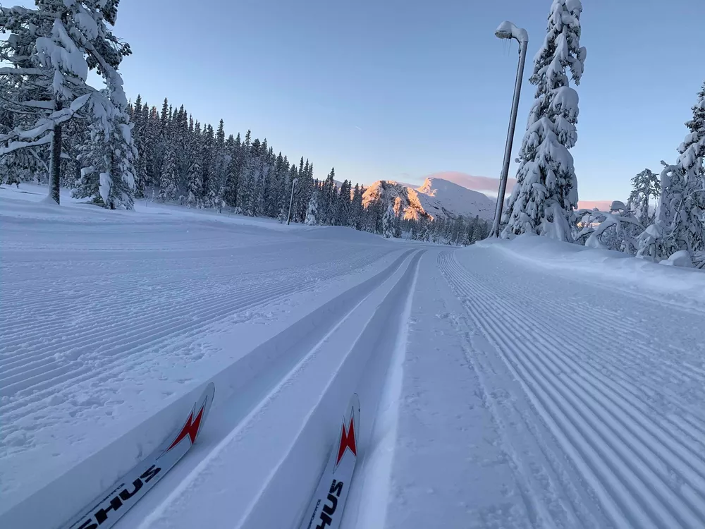
Experience the mountains on an epic ski tour
Pack your tent and sled, and set out on an adventure through Hemsedal's magnificent mountain landscape! This route combines groomed trails with untouched wilderness, so be ready to carve your own tracks in places. The entire trail is marked according to national standards, ensuring a safe journey as you immerse yourself in the natural beauty around you.
The route starts in the town centre of Hemsedal and goes through the valley to Ulsåk, where you will have to cross Rv52 and continue up towards Gravset Skiarena (also a good starting point). From Gravset you can choose different tracks for different difficulties towards Storevatnet Rundt and Golsfjellet. Check weather on yr.no and groomed tracks on loyper.net
For accommodation and restaurants you will have lots of options in the town centre of Hemsedal and Ulsåk and at Gravsetstugu Cafe by the ski arena. Check out accommodation and restaurants.
If you wish to start from Golsfjellet, you drive to the parking at Kvanhøgd (830 masl). Follow the track South East and follow the signs to Steinstølan (1005 masl). Follow the tracks same direction until you arrive at the crossing by Dugurdstjern (1230 masl) and follow the tracks further on to Hestedalen.
From there the tracks will go up towards Nystølsvarden (1298 masl). At Hestedalen, by the bottom of the mountain before the last ascension to ?, you can choose if you wish to do the detour to the top. If not, you continue East by the crossing in Hestedalen and continue in open terrain by Hestetjernet. From there the tracks descents rather steep before you reach the crossing in Hestedalskaret. Then you choose the track going South towards Frøysokstølane (970 masl), which is in easy terrain and ends with a nice descent down to Søråsevegen, where you cross the road and continue on the track towards Holtelifjellet. First you meet a light ascent through the forest until you yet again find yourself in the open terrain near the top of Holtelifjellet (1100 masl). From there the tracks descent to a crossing in the south end of Pipesjøen and continues on scooter groomed tracks upwards before you, after a lond descent, reach Røggjen. By the next crossing the tracks will be machine groomed and you will be entering Nesbyen municipality.
From Røggjen the track continues downwards to Bekkjeset-stølene, and turns upwards to Valdreslie but then turns straight south. The track has by then reached an open landscape with pine trees around. By Sjøhovd you will find another crossing and the Eventyrsløypa track continues East. Descending towards Buvasstølan is easy but further on to Langevatn can be challenging on some hills. The track is wide so there is plenty of room for breaking and keeping your own pace.
By Langevatn the track turns and crosses a bridge and then a road. Up towards Åsgrenda the track continues over a swamp og follows a road (not plowed) upwards a short ascent, not very steep. On a swamp the track continues West, then South, staying on an open swamp area, where it continues South towards Blåfjell.
Straight East from Blåfjell you will cross the border into Flå municipality and continues left/East in the next crossing, then onwards to Domfet. From here the track turns a few times and you passes Likkistefjellet (990 masl) and Raudfjellvatnet lake before you make a right turn towards Veneli. Continue south before the tracks turn north east to Olastjern, Svarttjern and Damtjern and then south bypassing Solheimsetran and then finally down to Gulsvik.
NB! Use map and compass on this trip
Check weather on yr.no and groomed tracks on loyper.net
Read more on the trip on hallingspor.no, Hallingsporets brosjyre med kart and UT.no